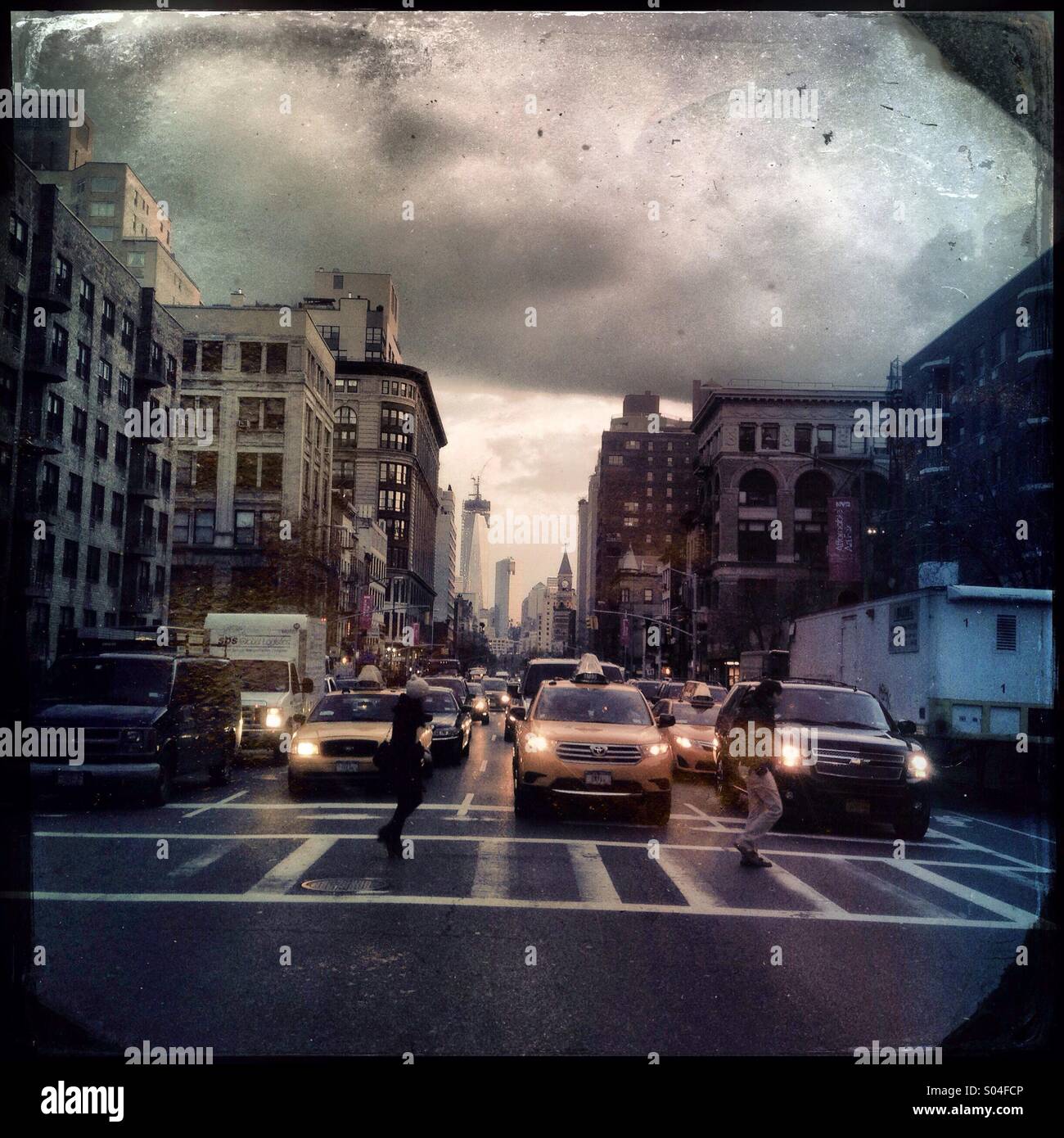
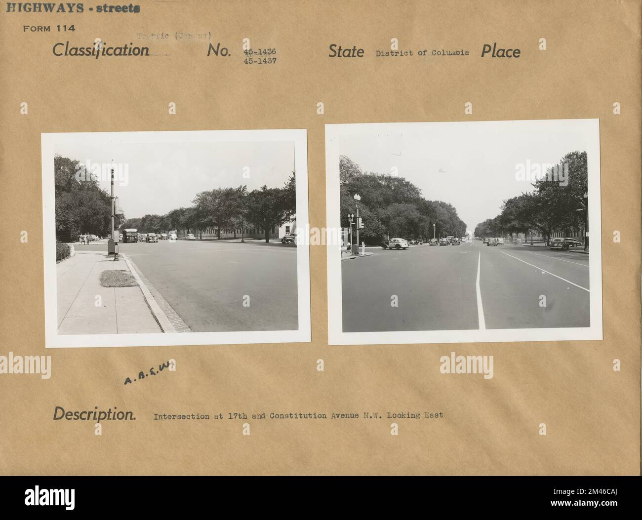
The intersection of 17th Street and Pennsylvania Avenue NW is a high-security, high-traffic node in Washington, D.C., located at the western edge of Lafayette Square. It serves as a critical junction for commuters, government officials, and tourists, requiring careful coordination between local transit authorities and federal law enforcement due to its proximity to the White House and the Eisenhower Executive Office Building.
Historical Evolution and Spatial Significance
The intersection of 17th Street and Pennsylvania Avenue is not merely a crossroads for vehicular traffic; it is a manifestation of Pierre Charles L’Enfant’s original vision for the Federal City. Historically, this point served as a transition zone between the commercial districts of the capital and the residential and administrative corridors surrounding the White House.
In the 21st century, the urban fabric surrounding this intersection has been heavily modified to prioritize security, security-integrated aesthetics, and pedestrian safety. The western boundary of Lafayette Square is defined by this intersection, effectively acting as a permanent physical and social buffer between the general public and the executive complex. Unlike intersections in other major metropolises where commercial density dictates traffic flow, the density here is dictated by institutional requirements. The architectural landscape is a blend of neoclassical federal monuments and secure, modern government office infrastructure, creating a unique urban context where the "street" is simultaneously a public thoroughfare and a highly monitored perimeter.
Traffic Patterns and Operational Logistics
Traffic flow at this junction is influenced by its role as a major east-west artery through the heart of the District of Columbia. Pennsylvania Avenue provides the primary ceremonial and logistical spine of the city, while 17th Street operates as a vital north-south transit corridor connecting the National Mall to the central business districts north of K Street.
Motorists and cyclists must contend with complex signal timings and frequently shifting traffic patterns caused by motorcades and high-level dignitary movements. These disruptions are not incidental; they are built into the design of the area. Traffic signaling systems at this intersection are managed by the District Department of Transportation (DDOT) in coordination with the United States Secret Service (USSS).
Key logistics factors to consider when traversing this area include:
- Restricted Turning Movements: During specific high-security operations, turning lanes may be closed or redirected without warning.
- Motorcade Priority: The intersection is subject to sudden full-stop holds for presidential and diplomatic movement, which can ripple through the surrounding street grid for several blocks.
- Commercial Vehicle Restrictions: Certain sizes and types of commercial vehicles face strict permitting requirements to enter this specific corridor during peak hours or during heightened threat levels.
The Pedestrian Experience and Urban Integration
Pedestrian movement at 17th and Pennsylvania is segmented into zones that balance public accessibility with site security. The sidewalk infrastructure is engineered to prevent unauthorized vehicular access while maintaining a dignified aesthetic consistent with the National Park Service’s standards for the Lafayette Square area.
Pedestrians often experience a "bottleneck" effect here due to the convergence of tourists visiting the White House Visitor Center and commuters heading toward Metro stations such as Farragut West. The intersection also serves as a primary hub for demonstration staging. Because this is a high-visibility location, public assemblies are frequent. Urban planners have had to integrate crowd control measures—such as reinforced bollards and temporary fencing infrastructure—that blend into the urban hardscape, a practice known as "invisible security."
Infrastructure and Maintenance Responsibilities
The physical upkeep of the intersection is a bifurcated responsibility. While the street surface, traffic signals, and signage generally fall under the jurisdiction of the District of Columbia, the perimeter infrastructure—including street furniture, lighting, and security bollards—is often maintained in close consultation with federal entities.
This creates a unique maintenance environment. If a street light malfunctions or a traffic signal synchronization error occurs, the report often involves multiple agencies. As of 2026, the ongoing integration of "Smart City" sensor technology is being tested in this corridor to monitor traffic density and air quality, adding a layer of digital infrastructure to the physical concrete.
Comparative Analysis of Intersection Features
The following table outlines the operational dynamics compared to standard metropolitan intersections in the Washington, D.C. area.
| Feature | 17th & Pennsylvania Ave | Standard D.C. Intersection |
|---|---|---|
| Traffic Management | Joint DDOT and Federal Coordination | Primarily DDOT Managed |
| Security Presence | Constant / Armed Personnel | Minimal / Traffic Enforcement |
| Pedestrian Flow | High (Tourist and Commuter) | Moderate (Local) |
| Signaling Priority | Flexible (Preemptive) | Fixed/Fixed-Dynamic |
| Infrastructure | Hardened Perimeter Barriers | Standard Curbing |
Challenges and Mitigation Strategies
Navigating this intersection requires advanced planning for those who rely on it for daily business or logistics. Common challenges include the unpredictability of transit times and the lack of traditional parking options.
- Traffic Variability: Always check the current status of Pennsylvania Avenue through real-time transit apps. The intersection can close with zero notice.
- Multimodal Considerations: Cyclists should be aware that bike lanes may terminate or merge unexpectedly near the intersection. It is advisable to utilize the designated bike paths that bypass the core executive zone when possible.
- Delivery Logistics: For businesses servicing the adjacent federal buildings, delivery windows are often strictly enforced. Deviations from these schedules can result in denied access to loading docks.
Frequently Asked Questions
Is the intersection of 17th Street and Pennsylvania Avenue always open to the public? Generally, yes, but it is subject to immediate closure for security reasons. While it remains a public roadway, the U.S. Secret Service maintains the authority to restrict access for the protection of individuals under their jurisdiction.
What is the best way to avoid traffic delays at this intersection? The most effective way to avoid delays is to utilize transit options such as the Metro or to route around the "White House Zone" via K Street or H Street, which offer more predictable traffic flow compared to the direct Pennsylvania Avenue corridor.
Are there specific restrictions for photographers and media at this location? While the public has a right to record in public spaces, the proximity to sensitive federal facilities means that activities deemed suspicious—such as focusing equipment on security personnel or controlled access points—may draw intervention from law enforcement.
Does the intersection have accessible infrastructure for people with disabilities? Yes. As of 2026, the intersection is fully compliant with the Americans with Disabilities Act (ADA), featuring tactile paving, audible signal indicators, and ramp access that conforms to federal accessibility standards for public transit nodes.
Can I park near 17th and Pennsylvania? On-street parking in the immediate vicinity of the intersection is extremely limited and strictly regulated. Most parking is restricted to official government permit holders or is time-limited with high turnover. Commercial parking garages are available several blocks north, toward K Street.
Strategic Recommendations for Stakeholders
For commuters and logistics managers, the primary recommendation is to treat the 17th and Pennsylvania intersection as an "unpredictable node" in any routing software. Do not rely solely on GPS-calculated arrival times, as these algorithms often fail to account for the real-time, manual override of traffic signals by law enforcement.
If you are a contractor or delivery service, ensure that your personnel have the necessary federal site access credentials well in advance of any scheduled arrival. If you are a commuter, building a 15-minute "buffer" into your travel time when your route includes this intersection is essential to account for sudden motorcade-related shutdowns. Despite the density of the area, the infrastructure is resilient and well-maintained, but its functionality is inextricably linked to its unique geopolitical context. Success in navigating this space depends on awareness of the dual nature of the street as both a city artery and a federal zone.