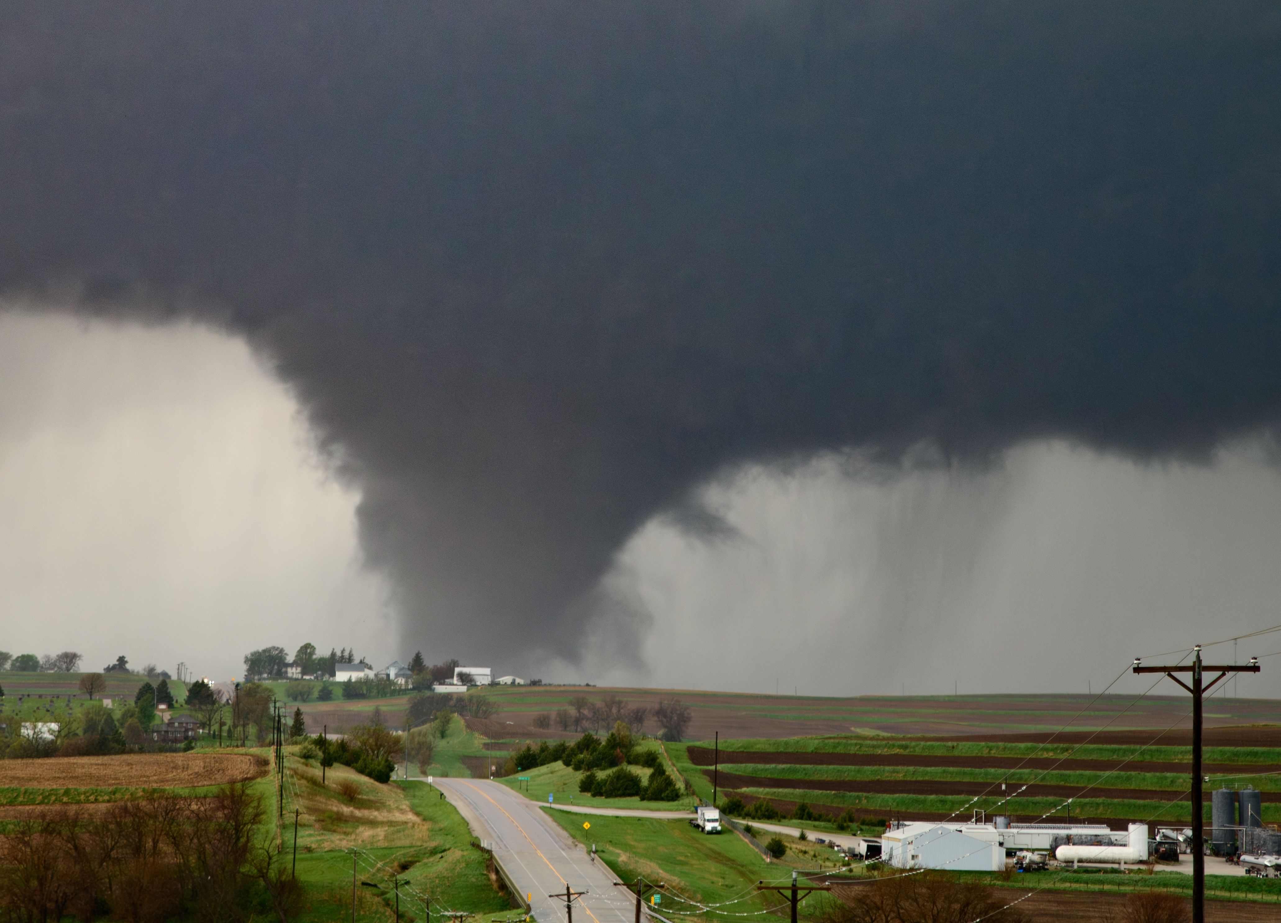
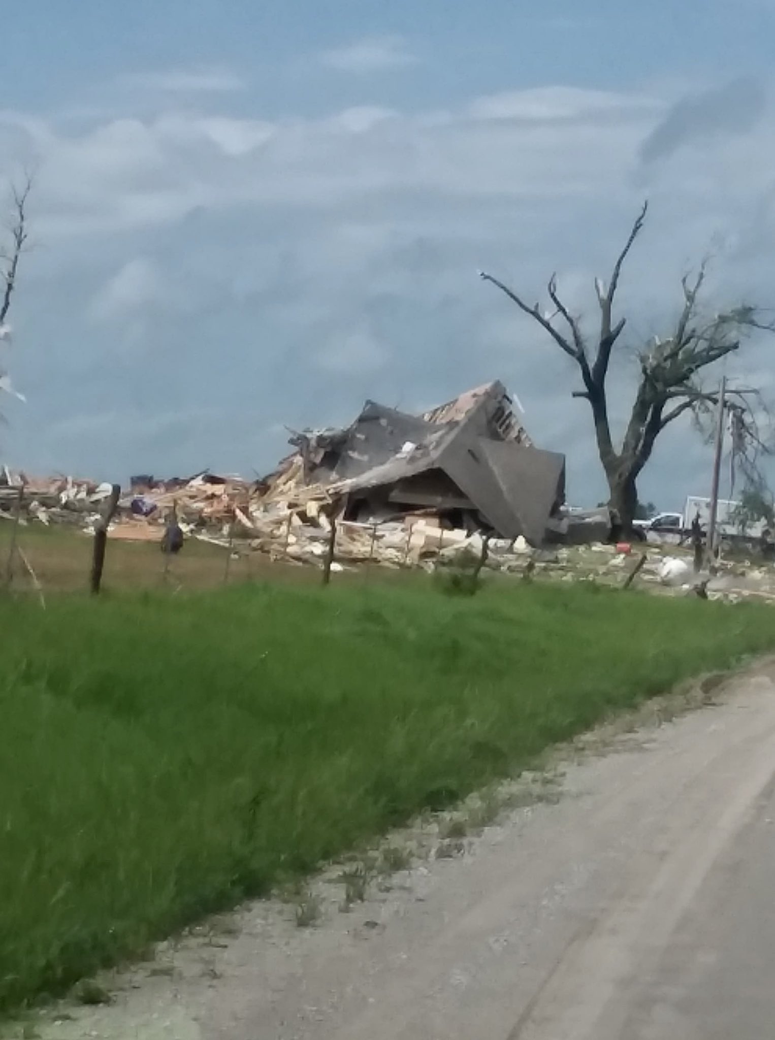
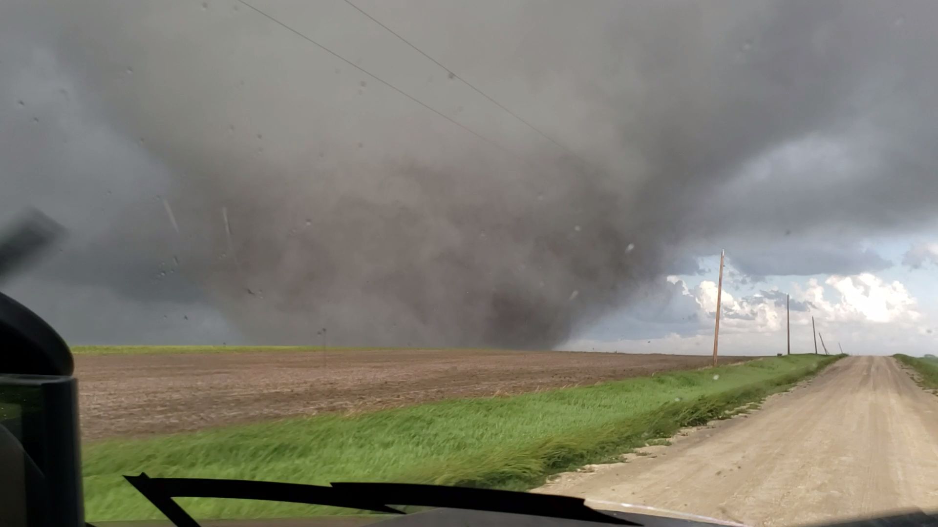
The 2019 tornado season stands as one of the most prolific and meteorologically significant periods in United States history, characterized by a record-breaking streak of daily activity in May and a total of 1,517 confirmed tornadoes. This season resulted in 42 fatalities and over $3 billion in damages, driven by a persistent atmospheric blocking pattern that funneled moist, unstable air into the central U.S. for weeks on end.
Statistical Overview of the 2019 Tornado Season
To understand the magnitude of the 2019 season, one must look at the sheer volume of convective activity. While the 2011 season remains the benchmark for modern destruction and fatality counts, 2019 surpassed many historical records for consistency and frequency. According to the National Oceanic and Atmospheric Administration (NOAA), the annual total of 1,517 tornadoes made 2019 the fourth most active year since reliable record-keeping began in 1950.
The distribution of these storms was heavily weighted toward the spring months, particularly May. In a typical year, May is the peak of "Tornado Alley" activity, but 2019 saw a convergence of conditions that pushed the monthly total to over 500 confirmed touchdowns. This volume placed immense pressure on emergency management systems and local infrastructure across the Great Plains and the Midwest.
Monthly Distribution and Intensity Data
The following table outlines the monthly breakdown of tornado activity during 2019, highlighting the extreme variance between the early spring and the late summer months.
| Month | Confirmed Tornadoes | Notable Events/Outbreaks | Fatalities |
|---|---|---|---|
| January | 18 | Central Gulf Coast activity | 0 |
| February | 27 | Late-month Southeast bursts | 0 |
| March | 111 | Lee County, AL EF4 Outbreak | 23 |
| April | 303 | Easter weekend outbreaks | 5 |
| May | 506 | Historic 13-day consecutive streak | 7 |
| June | 178 | High-plains and Midwest activity | 2 |
| July | 67 | Great Lakes region storms | 0 |
| August | 47 | Scattered Northern Tier events | 0 |
| September | 81 | Tropical storm-related tornadoes | 0 |
| October | 62 | Dallas, TX EF3 Urban Strike | 0 |
| November | 13 | Deep South late-season events | 0 |
| December | 104 | Rare late-season surge | 5 |
Meteorological Drivers: The Setup for High Activity
The exceptional activity of 2019 was not a product of random chance but rather a consequence of a highly amplified and stagnant planetary-scale wave pattern. Meteorologists look at several key factors when diagnosing why a specific season produces such high frequency.
The Role of El Niño and the Jet Stream
During early 2019, a weak-to-moderate El Niño was present. Typically, El Niño years result in a more active southern branch of the jet stream. In 2019, this manifested as a persistent "troughing" pattern over the Western United States. When a deep low-pressure trough sits over the West, it forces the jet stream to dip south and then swing violently northeast toward the Plains.
This configuration creates a "conveyor belt" of atmospheric ingredients. It pulls cold, dry air from the Rockies over the top of warm, moist air surging north from the Gulf of Mexico. The boundary between these air masses—the dryline and the warm front—becomes the primary breeding ground for supercell thunderstorms.
Atmospheric Blocking and the May Streak
The most remarkable feature of 2019 was the "May Streak." From May 17 to May 29, the United States saw at least eight tornadoes reported every single day. This 13-day streak broke the previous record of 11 days set in 1980.
This occurred because the atmospheric pattern became "blocked." A high-pressure ridge over the Southeastern U.S. (often called a Bermuda High) acted as a wall, preventing the western troughs from moving eastward. Consequently, the same geographic regions—Kansas, Oklahoma, Missouri, and Nebraska—were subjected to repeated rounds of severe weather as the storm systems remained stalled over the heart of the country.
Significant Outbreaks and Notable Events
While the season was defined by its total numbers, several specific events highlighted the destructive potential of the 2019 systems. These events ranged from tragic loss of life to high-profile urban strikes.
The Lee County, Alabama EF4 (March 3)
Early in the season, a devastating outbreak occurred across portions of Alabama, Georgia, and Florida. The most significant storm was an EF4 tornado that struck Lee County, Alabama. With winds estimated at 170 mph, this single tornado was responsible for 23 fatalities.
This event was particularly sobering for the meteorological community as it underscored the vulnerability of mobile home residents. The majority of the casualties occurred in manufactured housing that could not withstand the intense pressure and wind speeds of an EF4. It served as a grim reminder that even an "average" year in terms of numbers can be catastrophic if a major storm strikes a vulnerable population.
The Memorial Day Outbreak (May 27–28)
During the height of the May streak, a massive outbreak moved through the Ohio Valley. On the evening of Memorial Day, several high-intensity tornadoes struck near Dayton, Ohio. This included an EF4 that tore through Brookville and Trotwood, and an EF3 that impacted Celina.
The Dayton outbreak was notable for its timing and location. Striking late at night on a holiday weekend, the potential for mass casualties was high. However, due to high-quality radar coverage and aggressive warning dissemination by the National Weather Service (NWS) in Wilmington, the death toll was remarkably low given the density of the suburban areas affected.
The Dallas, Texas EF3 (October 20)
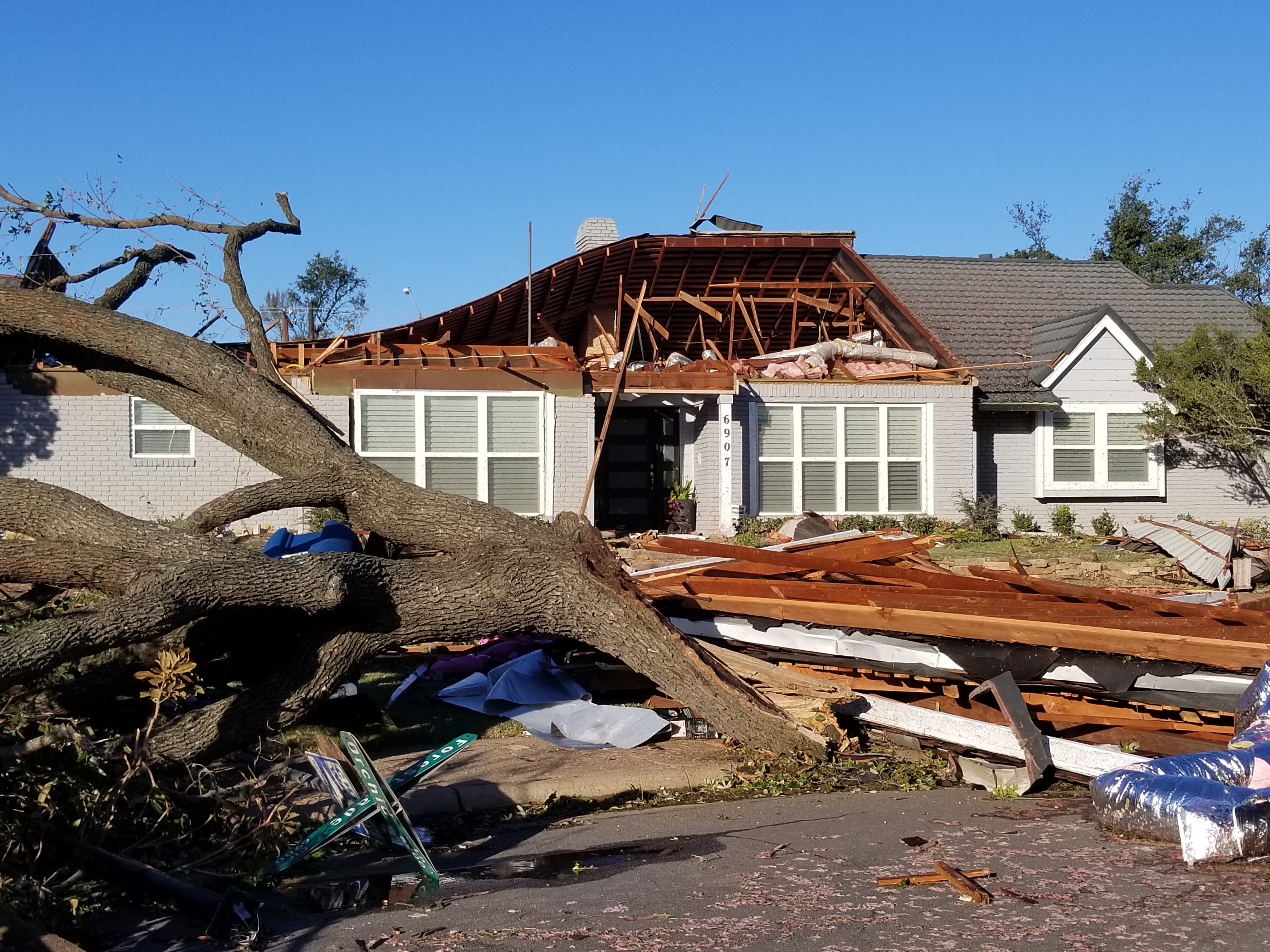
Tornado activity often sees a "second season" in the fall, and 2019 followed this pattern with a high-impact event in North Texas. On the night of October 20, an EF3 tornado touched down in a heavily populated area of North Dallas.
The storm caused an estimated $1.5 billion in damages, making it one of the costliest tornadoes in Texas history. It carved a path through residential neighborhoods, high-end retail districts, and school zones. Despite the massive structural damage, there were no fatalities—a result attributed to the high lead time of warnings and the prevalence of sturdy, "Texas-built" residential construction compared to more rural or impoverished regions.
Technological Advancements in 2019 Forecasting
By 2019, the integration of new satellite and radar technologies had reached a tipping point, significantly improving the "lead time" (the interval between a warning and the actual touchdown).
- GOES-16 and GOES-17: These Geostationary Operational Environmental Satellites provided high-resolution imagery every 30 to 60 seconds. Forecasters could see "overshooting tops"—clouds punching into the stratosphere—which are immediate precursors to severe weather.
- Dual-Pol Radar Refinements: Dual-polarization radar allowed forecasters to distinguish between precipitation and "tornado debris signatures" (TDS). In 2019, NWS offices frequently confirmed tornadoes on the ground via radar before any spotter reports came in, simply by seeing the "debris ball" of lofted materials.
- Probabilistic Hazard Information (PHI): While still in experimental phases in 2019, the use of PHI allowed forecasters to provide more nuanced "probability" plumes rather than just binary warning boxes.
These tools were critical during the May streak. When meteorologists are issuing dozens of warnings a day for two weeks straight, the risk of "warning fatigue" in the public is high. The ability to show exact debris signatures on live television helped maintain the urgency of the alerts.
Economic and Infrastructure Impact
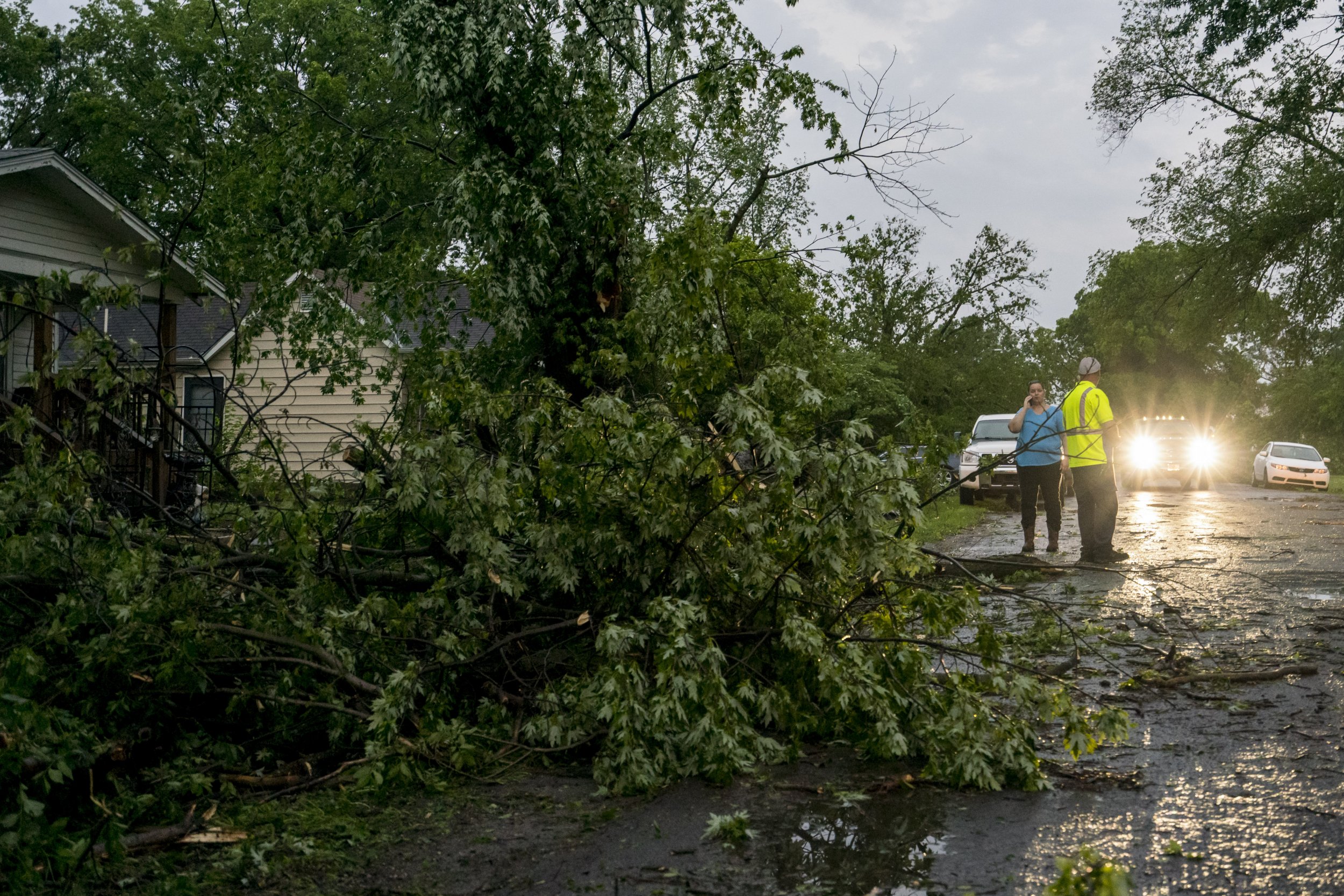
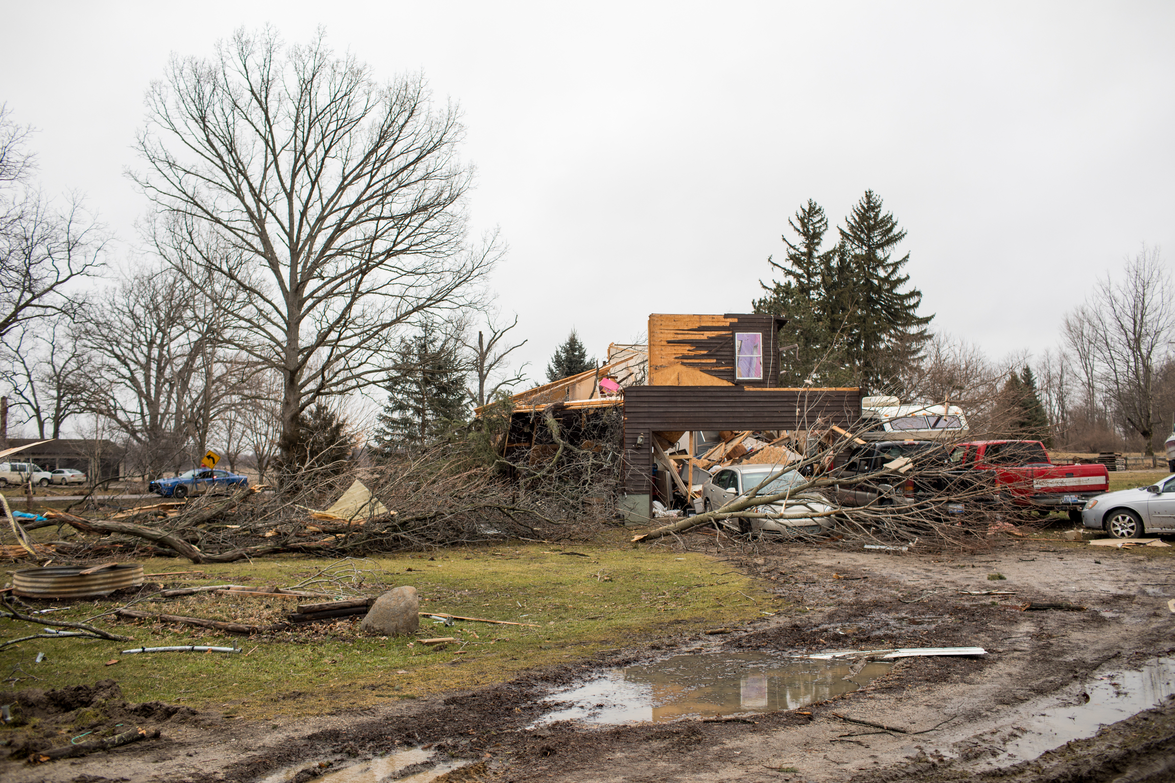
The financial toll of the 2019 tornado season was dispersed across a wide geographic area. Unlike the 2011 Joplin or Tuscaloosa events, where a single town faced billions in damage, 2019 was a "death by a thousand cuts."
- Agricultural Losses: Because the heaviest activity occurred in May, many farmers in the Midwest were unable to plant crops due to repeated severe weather and subsequent flooding. The Missouri and Mississippi Rivers reached near-record levels, exacerbated by the rainfall accompanying the tornado-producing supercells.
- Insurance Adjustments: The 2019 season led to a significant reassessment of risk in the "Dixie Alley" region (the Southeast). Insurers began to realize that the traditional "Tornado Alley" of the Plains was shifting or expanding, leading to changes in premiums for residents in states like Alabama, Mississippi, and Tennessee.
- Infrastructure Stress: Power grids in Ohio and Oklahoma faced repeated failures. The 2019 season highlighted the need for "hardening" of the grid, specifically the transition to underground power lines in areas prone to frequent high-wind events.
Comparing 2019 to Historical Benchmarks
To put 2019 in perspective, it is useful to compare it to other "hyper-active" years.
| Year | Total Tornadoes | Fatalities | Most Significant Storm |
|---|---|---|---|
| 1974 | 948 | 315 | Xenia, OH (EF5) |
| 2004 | 1,817 | 36 | Hallam, NE (F4) |
| 2011 | 1,691 | 553 | Joplin, MO (EF5) |
| 2019 | 1,517 | 42 | Lee County, AL (EF4) |
While 2004 and 2011 had higher total counts, 2019 is unique because it lacked a single "monster" day like the April 27, 2011, Super Outbreak. Instead, 2019 was a marathon of consistent, high-frequency events. Interestingly, 2019 did not produce a single EF5 tornado. This continued a trend of "EF5 droughts" that has been a subject of intense study in the meteorological community.
Safety Lessons and Preparedness Insights
Looking back at the 2019 season from the perspective of 2026, several key safety takeaways have been integrated into modern emergency management protocols.
The "Warning Fatigue" Challenge During the 13-day May streak, residents in some Oklahoma counties were under tornado warnings almost every night. Sociological studies following the 2019 season showed that by day 10, people were less likely to seek shelter immediately. This has led to the development of "Impact-Based Warnings," where the NWS uses more urgent language (e.g., "MORTAL DANGER," "UNSURVIVABLE") only for the most confirmed, dangerous storms to prevent desensitization.
Mobile Home Vulnerability The Lee County tragedy reaffirmed that mobile homes are not safe in any tornado, let alone an EF4. Since 2019, there has been a significant push in the Southeast for the construction of community storm shelters and "safe rooms" funded by FEMA grants, specifically targeting mobile home parks.
Nighttime Tornado Hazards Many of the 2019 tornadoes, including those in Dayton and Dallas, occurred after dark. This highlighted the necessity of having multiple ways to receive alerts that can wake you up, such as a NOAA Weather Radio or high-priority smartphone overrides. Relying on outdoor sirens—which are intended for people who are outside—is a fatal mistake during nocturnal events.
Frequently Asked Questions
Why were there so many tornadoes in May 2019?
The high volume in May 2019 was caused by a stalled jet stream pattern. A deep trough of low pressure over the Western U.S. and a strong high-pressure ridge over the Southeast created a constant flow of warm, moist air and strong wind shear over the central U.S., leading to 13 consecutive days of significant tornado activity.
How many EF5 tornadoes occurred in 2019?
Zero. Despite being one of the most active years on record in terms of total tornado count, no tornado in 2019 reached the EF5 threshold (winds over 200 mph). The strongest tornadoes of the year were rated EF4, including the Lee County, Alabama, and Dayton, Ohio, storms.
Which state had the most tornadoes in 2019?
Texas and Mississippi were among the leaders in 2019. Texas often leads in total count due to its size, but Mississippi and Alabama saw a disproportionate number of strong (EF2+) tornadoes during the early spring and late fall "second season."
What was the deadliest tornado of 2019?
The deadliest tornado was the EF4 that struck Lee County, Alabama, on March 3, 2019. It killed 23 people and injured many others. This single storm accounted for more than half of the total tornado fatalities for the entire year.
Did climate change cause the 2019 tornado season?
While it is difficult to attribute a single season to climate change, researchers note that the variability and clustering of tornadoes are changing. We are seeing more days with many tornadoes and fewer days with just one or two. The persistent blocking pattern seen in 2019 is a phenomenon that some climate models suggest may become more frequent as Arctic warming influences the jet stream.
Future Recommendations for Storm Safety
The 2019 season serves as a masterclass in the importance of persistent vigilance. Even if you do not live in the traditional "Tornado Alley," the expansion of severe weather into the Ohio Valley and the Southeast means that preparedness is a year-round requirement.
For those looking to improve their safety posture, the primary recommendation is the installation of a certified storm cellar or safe room that meets ICC-500 standards. If that is not financially feasible, identifying the "lowest, innermost" room of a sturdy building and keeping a "go-bag" with helmets, sturdy shoes, and a whistle can significantly increase your chances of survival. The 2019 season proved that while we cannot stop the atmosphere from producing these storms, our ability to forecast and react to them has never been better.