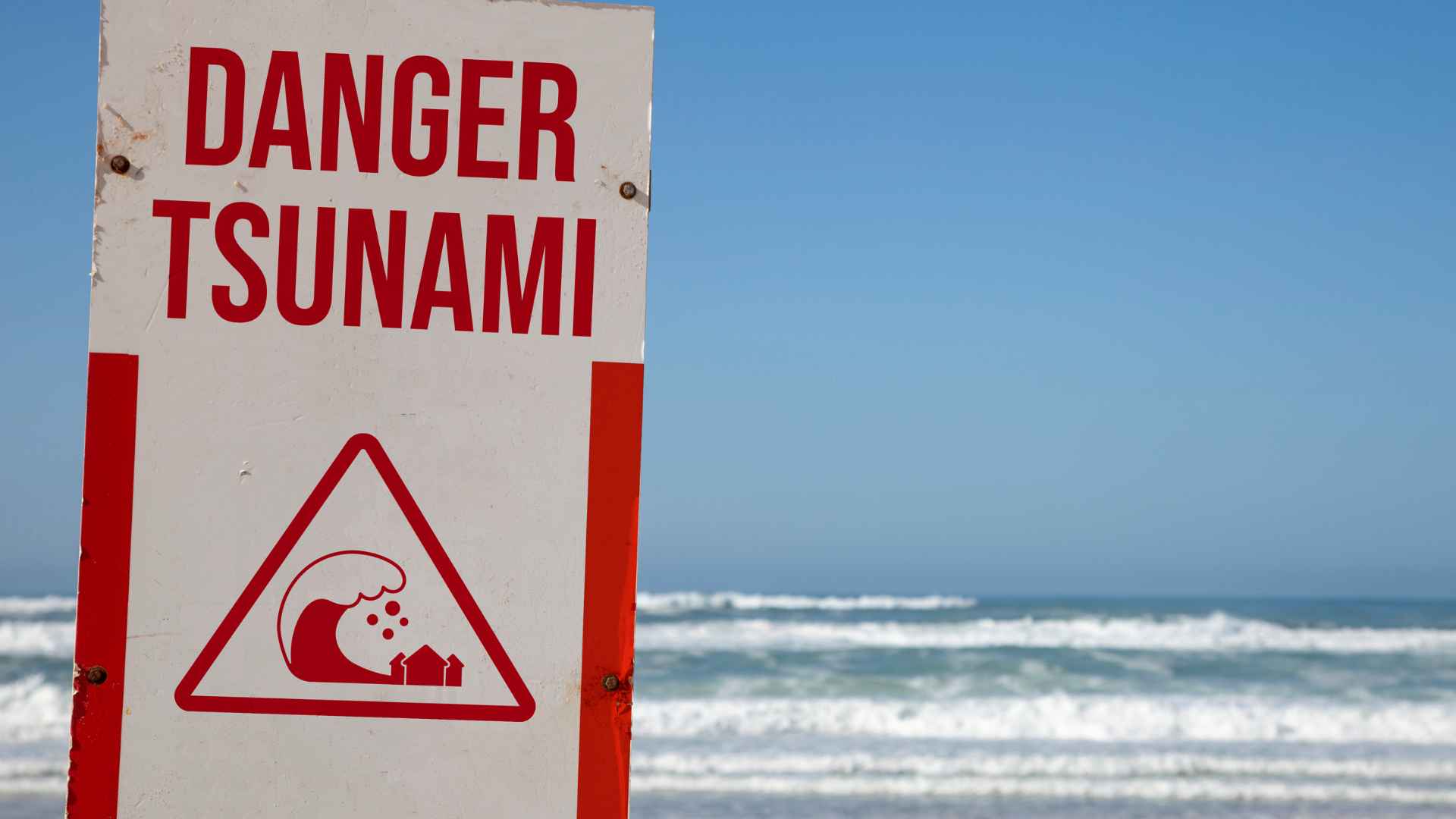
The Canary Islands, an archipelago of volcanic origin, are subject to ongoing geological monitoring to assess the risk of tsunamis. While the probability of a major, catastrophic tsunami event is considered low by the scientific community, the islands remain vulnerable to both distant seismic activity—such as events occurring in the Atlantic or Mediterranean—and local phenomena, including potential flank instabilities on volcanic slopes. Emergency preparedness frameworks and early warning systems are currently in place to mitigate potential coastal impact.
Geological Context and Tsunami Origins
The Canary Islands are a volcanic chain situated on the African tectonic plate. Unlike the Pacific "Ring of Fire," which is characterized by frequent subduction zone earthquakes capable of displacing vast volumes of water, the Atlantic basin features different tectonic dynamics. However, the archipelago’s susceptibility to tsunamis is defined by two primary mechanisms: far-field seismic events and near-field slope failure.
Far-field events are generated by earthquakes occurring thousands of kilometers away. Historical records, such as the 1755 Lisbon earthquake, demonstrate that the Atlantic basin can propagate tsunami waves across the ocean, affecting the Canaries. The threat level from these events depends on the magnitude and depth of the submarine displacement. Because these waves travel across the deep ocean, there is generally an arrival window—ranging from minutes to hours—that allows for detection via ocean-bottom sensors and tide gauges.
Near-field events are more localized and theoretically more hazardous due to the short lead time for warning. These involve the collapse of volcanic edifices or massive underwater landslides. While the scientific community actively monitors the structural stability of the islands—particularly La Palma, which has been the subject of extensive peer-reviewed studies regarding slope stability—the likelihood of a sudden, total flank collapse is categorized as an extremely low-probability, high-impact event.
Monitoring Infrastructure and Early Warning Systems
In 2026, the Canary Islands utilize a multi-layered approach to tsunami monitoring, coordinated primarily through the Spanish National Geographic Institute (IGN) and international collaborations within the Intergovernmental Oceanographic Commission (IOC-UNESCO) framework.
The monitoring network relies on several critical components:
- Seismic Monitoring Stations: A high-density network of seismometers deployed across all islands detects ground motion in real-time, providing the initial trigger for seismic alerts.
- Sea-Level Gauges: These sensors, located at major ports and along exposed coastlines, detect changes in water level that deviate from tidal predictions.
- Deep-Ocean Assessment and Reporting of Tsunamis (DART) Buoys: These systems provide data on pressure changes in the open ocean, which are essential for predicting wave height and arrival time before the wave reaches the shallow continental shelf.
The integration of these systems into a unified command center allows authorities to verify if a seismic event has caused a displacement of the water column. If a threat is confirmed, information is pushed through established civil protection channels to regional and local authorities.
Understanding Coastal Impact and Vulnerability
The coastal impact of a tsunami in the Canary Islands is highly dependent on local bathymetry—the underwater topography—and the geometry of the coastline. The islands are characterized by steep, deep-water approaches, which can sometimes amplify wave energy depending on the direction of arrival.
Potential Impact Scenarios
- Low-Energy Surge: In many scenarios, a tsunami would manifest as a series of rapid sea-level fluctuations, similar to strong tidal currents, rather than a single, massive breaking wave.
- Inundation: Low-lying areas, particularly those with dense tourism infrastructure, beaches, and port facilities, face the highest risk of inundation. The physical force of water, combined with debris, can compromise structural integrity if velocity and depth are high enough.
- Economic Disruption: Beyond immediate physical destruction, a tsunami event—or even a false alarm—can cause significant disruption to maritime logistics, tourism, and critical infrastructure like desalination plants, which are vital for the islands' water supply.
Comparative Risk Analysis
The following table outlines the primary differences between the two main categories of tsunami threats affecting the archipelago.
| Feature | Far-Field Seismic Event | Near-Field Slope Failure |
|---|---|---|
| Origin | Distant tectonic fault line | Localized volcanic slope collapse |
| Warning Time | Significant (hours) | Very Limited (minutes) |
| Predictability | High (based on seismic waves) | Low (requires constant slope monitoring) |
| Probability | Moderate (historical precedent) | Very Low (geological timescales) |
| Mitigation Focus | Evacuation and communication | Structural monitoring and sensors |
Emergency Preparedness for Residents and Visitors
For residents and tourists, understanding the protocol for a tsunami warning is essential. The Canary Islands government, through the Plan Especial de Protección Civil ante el Riesgo de Maremotos (Tsunami Emergency Plan), establishes guidelines for public safety.
- Recognize Natural Warnings: The most important warning is often not technological but environmental. If you feel a strong earthquake that makes it difficult to stand, or if you observe an unusual withdrawal of the sea, do not wait for an official siren. Move to high ground immediately.
- Follow Official Channels: Rely on local radio, television, and government-issued mobile alerts (ES-Alert). Avoid spreading unverified reports on social media, which can lead to panic and unnecessary congestion on evacuation routes.
- Evacuation Awareness: Many coastal hotels and municipalities have designated evacuation routes marked with specific signage. Familiarize yourself with these routes upon arrival. Most evacuation points are situated at a minimum elevation of 20–30 meters above sea level.
- Disaster Supply Kits: For residents, keeping an emergency kit—containing water, non-perishable food, flashlights, a radio, and essential documents—is a standard recommendation for any natural hazard.
Limitations of Hazard Modeling
It is critical to distinguish between scientific hypothetical modeling and actual risk. Researchers often simulate the "worst-case scenario" to stress-test existing infrastructure and improve emergency planning. These models frequently assume extreme, near-impossible conditions to ensure that the safety systems are robust enough to handle the maximum possible force.
When you encounter reports suggesting "imminent danger" or "massive landslides," consider the context. Often, these headlines are based on worst-case computer models rather than current seismic or structural readings. The actual threat is governed by long-term, slow-moving geological processes that are subjected to rigorous peer-reviewed monitoring by institutions like the Instituto Volcanológico de Canarias (INVOLCAN).
Frequently Asked Questions
1. Is it safe to stay in a beachfront hotel in the Canary Islands? Yes. All licensed accommodations in the Canary Islands are subject to strict building codes that account for various environmental factors, including seismic activity. While no coastal location is immune to natural hazards, the probability of a life-threatening tsunami occurring during a stay is statistically extremely low.
2. How would I be warned of an incoming tsunami? The primary warning mechanism is the mobile alert system (ES-Alert), which sends localized messages to all smartphones in a specific area. Additionally, sirens and civil protection alerts via local media would be deployed to cover areas without mobile connectivity.
3. If an earthquake occurs, does it mean a tsunami is coming? Not necessarily. Most earthquakes do not cause tsunamis. A tsunami is only generated if the earthquake is of high magnitude, occurs under the ocean, and results in a significant vertical displacement of the seafloor.
4. What is the difference between a tsunami watch and a warning? A "watch" indicates that an event has occurred that could potentially lead to a tsunami, and the situation is being assessed. A "warning" means that a tsunami has been detected, and immediate protective action, such as evacuation to higher ground, is required.
5. How high should I climb to be safe? General civil protection guidance suggests reaching an elevation of at least 20 to 30 meters above mean sea level. If you are in a coastal area, look for signage indicating safe zones and follow the instructions of local authorities.
Recommended Next Actions
For those living in or visiting the islands, the most effective way to stay prepared is to register for local civil protection updates and identify the nearest high-elevation point relative to your accommodation or residence. Familiarity with the official Protección Civil channels ensures you receive accurate information rather than rumors. If you are planning a long-term stay, review the local municipal emergency plans, which are typically available on official island council (Cabildo) websites. These documents provide the most granular information regarding tsunami evacuation routes and designated gathering points for your specific area.