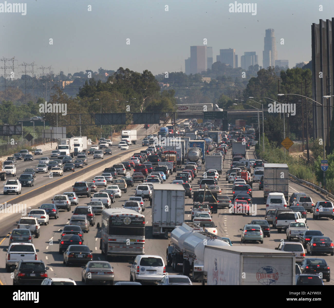
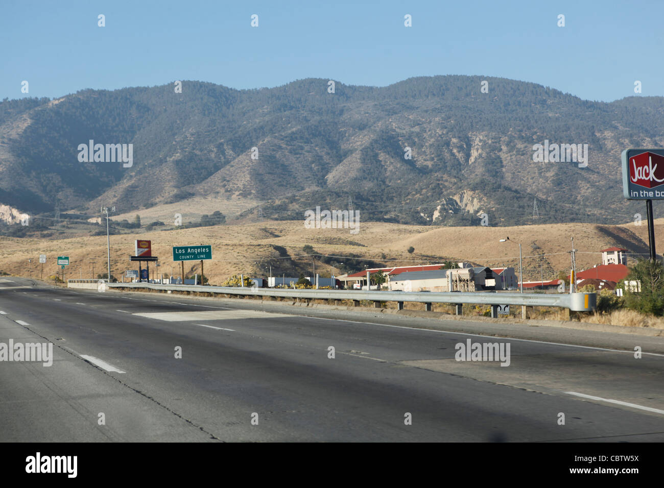
Navigating Interstate 5 through the Tejon Pass—universally known as the Grapevine—demands constant vigilance, preparation, and an understanding of regional transportation dynamics. Connecting the Central Valley to the Greater Los Angeles area, this mountainous corridor reaches an elevation of over 4,100 feet at its peak, making it one of the most critical yet volatile stretches of highway in California. For motorists, commercial truckers, and logistics operators, managing Interstate 5 grapevine traffic in 2026 requires utilizing up-to-the-minute data sources, adhering to winter weather protocols, and understanding the operational standards enforced by the California Department of Transportation (Caltrans) and the California Highway Patrol (CHP).
Understanding the Geography and Critical Vulnerabilities of the Tejon Pass
The Grapevine corridor spans approximately 40 miles along I-5, situated between the southern end of the San Joaquin Valley near Lebec and Grapevine, and the northern outskirts of Los Angeles County near Castaic. The terrain is characterized by steep grades reaching up to six percent, sharp curves, and rapidly shifting microclimates.
Weather patterns in the Tejon Pass create distinct operational challenges throughout the year. Winter storms frequently bring snow, black ice, and heavy fog, prompting chain controls and complete closures. Conversely, summer and early autumn bring extreme heat stress to vehicle cooling systems and brake lines, while high crosswinds present severe rollover hazards for high-profile commercial trucks and vehicles towing trailers.
Primary Factors Driving Congestion and Delays
- Commercial Truck Volume: As a primary artery for freight moving between the Ports of Los Angeles/Long Beach and Northern California, heavy trucks make up a massive percentage of daily traffic. When trucks experience mechanical failures or slow down on steep ascents, cascading delays occur.
- Accidents and Incidents: Due to the high speeds and steep grades, minor fender-benders can quickly escalate into multi-lane blockages, halting traffic for hours.
- Emergency Maintenance and Construction: Caltrans routinely schedules infrastructure rehabilitation, paving, and rockfall mitigation projects, which often require overnight lane closures or rolling roadblocks.
- Severe Weather Interventions: When snow or ice accumulates, CHP implements mandatory chain controls (R-1, R-2, and R-3 conditions), drastically reducing speeds or temporarily stopping traffic to clear paths.
Real-Time Monitoring Tools and Official Data Sources for 2026
Relying on outdated GPS routing or delayed social media reports can leave motorists stranded for hours during a closure. To maintain situational awareness, drivers must cross-reference multiple official channels before and during transit through the Tejon Pass.
Recommended Data Feeds and Verification Channels
Official Caltrans Resources: Always check Caltrans QuickMap (available via mobile app or web browser) for live traffic cameras, CHP incident reports, and real-time chain control statuses. The toll-free Highway Information Network (1-800-427-7628) provides automated voice updates updated every few minutes.
Commercial Fleet Management Systems: Logistics operators should integrate Federal Motor Carrier Safety Administration (FMCSA) and Caltrans commercial vehicle feeds to receive automated alerts regarding wind restrictions, hazardous materials bans, and emergency closures.
Comparative Analysis of Route Alternatives During Closures
When Interstate 5 is completely shut down due to severe weather, major collisions, or hazardous spills, motorists must rely on detour routes. Each alternative carries distinct advantages and severe limitations regarding distance, elevation, and road capacity.
| Route Alternative | Distance / Time Impact | Elevation & Terrain Risks | Recommended Vehicle Types |
|---|---|---|---|
| State Route 99 to State Route 58 (Tehachapi Pass) | Adds 45–90 minutes depending on destination; significantly longer miles. | Reaches over 3,800 feet at Tehachapi; prone to snow and high winds. | All vehicles, including commercial semi-trucks. |
| State Route 14 to US-395 (Eastern Sierra) | Adds 2 to 4 hours; substantial mileage increase. | High desert terrain, severe grades, remote gas and service availability. | Passenger vehicles and light trucks; discouraged for heavy freight. |
| US-101 / Pacific Coast Highway (Coastal Route) | Adds 1.5 to 3 hours depending on Bay Area versus Central Valley travel. | Coastal fog, winding two-lane stretches in northern sections, frequent construction. | Passenger vehicles, RVs, and light commercial traffic. |
Step-by-Step Protocol for Driving the Grapevine Safely
Navigating the Tejon Pass safely demands disciplined driving habits, particularly when descending long grades or driving in inclement weather. The following actionable framework minimizes mechanical failure and collision risks:
- Pre-Trip Vehicle Inspection: Check tire tread depth, brake pad thickness, fluid levels (especially coolant and transmission fluid), and wiper condition before entering the mountain pass.
- Monitor Fuel and Supplies: Ensure your vehicle has at least half a tank of fuel. Unexpected closures can trap motorists for hours without access to service stations.
- Select the Proper Gear for Descents: When heading southbound down the steep decline toward Castaic, downshift into a lower gear to utilize engine braking. Avoid riding your brakes continuously, which can cause brake fade, overheating, and total brake failure.
- Maintain Safe Following Distances: Increase your following distance to at least four to six seconds behind the vehicle ahead, doubling this distance if it is raining, snowing, or foggy.
- Observe Speed Limits and Truck Restrictions: Obey posted variable speed limit signs and remember that commercial trucks are restricted to specific lanes and maximum speeds to prevent runaway truck incidents.
Frequently Asked Questions
How can I check if the Grapevine is currently open before I start driving?
You can check real-time road conditions by visiting the Caltrans QuickMap website or mobile application, which features live traffic cameras and CHP incident logs. Additionally, calling the automated Caltrans road information hotline at 1-800-427-7628 provides up-to-the-minute closure updates.
What do Caltrans chain control levels (R-1, R-2, R-3) mean for my vehicle?
R-1 requires snow tires or chains on commercial vehicles; R-2 requires chains on all vehicles except four-wheel-drive vehicles with snow tires; and R-3 mandates chains on all vehicles with no exceptions, often accompanied by a full highway closure.
How long do closures on Interstate 5 typically last?
Minor accidents and spin-outs usually clear within one to three hours, whereas major hazardous material spills, severe multi-vehicle collisions, or heavy winter blizzards can result in closures lasting anywhere from six to over twenty-four hours.
Are there alternative routes suitable for semi-trucks when I-5 is closed?
Yes, commercial freight carriers must divert via State Route 58 through Barstow or use State Route 99 connecting to Mojave, as narrow coastal or mountain two-lane alternatives prohibit heavy commercial vehicle traffic.
What should I do if my car breaks down while traversing the Grapevine?
Pull off onto the nearest wide shoulder or emergency turnout immediately, activate your hazard lights, remain inside your vehicle with your seatbelt fastened, and call 911 or the CHP emergency dispatch to request roadside assistance.
Strategic Travel Recommendations
Successfully managing Interstate 5 grapevine traffic requires a proactive mindset, continuous monitoring of official Caltrans and CHP channels, and absolute respect for mountain weather and terrain. By avoiding peak congestion windows, keeping your vehicle in peak mechanical condition, and knowing when to delay your trip or utilize designated detours, you can ensure a safe and efficient journey through California's most demanding mountain corridor.